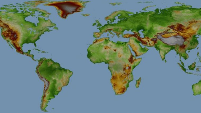
WorldDEM Now Available Worldwide
Airbus Defence and Space has announced that customers can now be served with WorldDEM data for any point on Earth. WorldDEM is a disruptive Digital Elevation Model (DEM), whose accuracy and quality surpass that of any global satellite-based elevation model available today, the company writes in a statement. Setting a new standard, WorldDEM is the first global homogeneous, single-source, high-precision DEM, the statement continues.
Following the comprehensive global acquisition campaign and subsequent processing effort, WorldDEM data now is available for the entire World, including Antarctica and Arctic regions as well as Pacific islands. Thus WorldDEM is the first truly global elevation dataset that covers regions beyond 60° North and South without any missing areas, even in the heavily clouded Equatorial belt.
Bernhard Brenner, head of the Intelligence Cluster at Airbus Defence and Space, said the WorldDEM dataset provides an ideal visualisation tool indispensable for surveillance, reconnaissance and mission planning. It also facilitates the interpretation of landscapes with exceptional detail, which is essential for military operations preparation.
Engineering projects
Commercial companies and institutions are also using the dataset for applications such as planning and implementation of civil engineering projects, exploration of natural resources in remote areas or environmental studies. Another main beneficiary of this global dataset is the aviation sector for which WorldDEM provides more accurate terrain information, thus improving collision avoidance systems, ground proximity warning and flight management systems.
The WorldDEM product range is based on the global TanDEM-X DEM as generated by the TanDEM-X mission, which is performed jointly with the German Aerospace Center (DLR). The DLR is responsible for the scientific exploitation of all TanDEM-X data, the mission planning and execution, the control of both satellites and the processing of all satellite data. Airbus Defence and Space holds the exclusive commercial marketing rights for the data and is responsible for the adaptation of the elevation model to the needs of commercial users worldwide.

Value staying current with geomatics?
Stay on the map with our expertly curated newsletters.
We provide educational insights, industry updates, and inspiring stories to help you learn, grow, and reach your full potential in your field. Don't miss out - subscribe today and ensure you're always informed, educated, and inspired.
Choose your newsletter(s)


