YellowScan Lidar for Drone 2016 User Conference
This article was originally published in Geomatics World.
YellowScan has put together a diverse agenda for the YellowScan Lidar for Drone 2016 User Conference. The topics on the programme prove the broad usage of YellowScan Lidar equipment in applications such as archaeology, forestry, power lines, surveying, mining, civil engineering and more. The conference will be held on 22-23 June in Montpellier, France.
The programme will contain contributions from international partners and speakers from Applanix, TerraSolid, ECA Drone, Carbomap, Dielmo3D, BRGM, GeoLux, L’Avion Jaune, and more, focusing on Lida technologies and its applications.
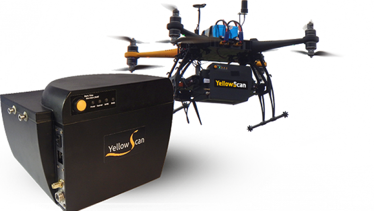
As part of the event, YellowScan will be demonstrating the 5cm accuracy of its new YellowScan Surveyor Lidar system for UAV to its international community.
In addition to the spectacular château visit and wine tasting workshops, attendees will have an opportunity to gain insight into current and future product plans; to hear from interesting and innovative users of YellowScan‘s Lidar tools; to pick up useful tips and tricks for optimising the application of both YellowScan Mapper and Surveyor; and to participate in the ongoing collaborative development process by providing feedback and requests to the YellowScan team.
For more information, visit www.yellowscan.fr/news/lidar-drone-conference-2016.

Value staying current with geomatics?
Stay on the map with our expertly curated newsletters.
We provide educational insights, industry updates, and inspiring stories to help you learn, grow, and reach your full potential in your field. Don't miss out - subscribe today and ensure you're always informed, educated, and inspired.
Choose your newsletter(s)


