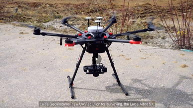
Leica Aibot SX - Intelligent Aerial Surveying
Leica Geosystems’ new UAV solution for surveying, the Leica Aibot SX, provides reliable technology to generate highly accurate data. Watch the video to learn how the Aibot SX can help you capturing reality from the air for efficient cadastral survey, 3D mapping and asset inspection.

