GIM - April 2017
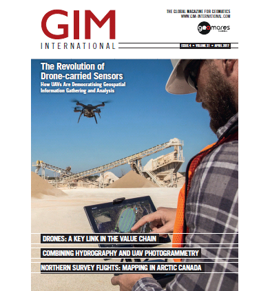
This issue of GIM International has a special focus on unmanned aerial vehicles (UAVs), which have become essential tools for the surveying profession. Three separate articles zoom in on three different applications of UAV mapping. This edition also contains two extensive interviews that reflect the current transformation in the UAV business, where attention is shifting from the UAV itself to the sensors and the software too.
This issue contains the following articles:
- The Revolution of Drone-carried Sensors
- Combining Hydrography and UAV Photogrammetry
- Northern Survey Flights
- Improving Land Tenure Security with Low-cost Technologies


