The GIM International magazine is a monthly magazine for the geomatics professional. Read the latest geospatial related articles at GIM International! Don't want to read online? We also have a print edition.
Main topics in the February edition of GIM International are:
Reconstructing a Church in 3D
Geomatics for Cultural Heritage Preservation
Terrestrial Laser Scanning in Forest Inventories
Company's View: DIPPER
The role of GPS, GIS and UAVs in Humanitarian Aid
... and more
Interview with Alvaro Monett
 Page 10: Spatial Data Infrastructure in Chile is Mature and Expanding: Chile is a good example of a South American country with a successful spatial data infrastructure (SDI). The National System for Territorial Information Coordination (SNIT) is steered by an executive secretariat at the Ministry of National Assets, headed by Alvaro Monett. He is proud of what has been realised so far but still sees many challenges left to tackle.
Reconstructing a Church in 3D with Lidar and UAS
 Page 15-17: Reconstruction and maintenance work in historical buildings such as churches requires detailed and accurate information about them, but it can be difficult and expensive to acquire such data efficiently. The combination of terrestrial Lidar and UAS-based photogrammetry provides an adequate approach for gathering a full model of the outside of a church.
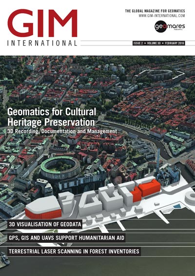
Geomatics for Cultural Heritage Preservation
 Page 19-21: Conservation today seeks to retain the cultural past using geomatics technology such as 3D modelling. In a world where cultural heritage is increasingly threatened by abandonment, trafficking of artefacts and conflict-driven destruction, digital information is becoming a powerful tool in the work of multi-disciplinary conservation teams.
The Role of GPS, GIS and UAVs in Humanitarian Aid
 Page 23-25: Using hand-held GPS and mobile GIS, Medair teams survey informal ‘tented‘ shelters every month to update the maps and the assessment data pertaining to the refugees in order to know where they have settled and what aid they need. To date, Medair has mapped more than 1,200 Syrian refugee settlements.
Advertisement
Advertisement
Advertisement
Join GIM International
Follow GIM International on Facebook, LinkedIn, Twitter or sign up for the newsletter! Don't miss the latest developments: join GIM International!
 |  |  |  |
| 29.769 SUBSCRIBERS | 22.513 MEMBERS | 9.484 LIKES | 8.739 FOLLOWERS |