GIM - November/December 2018
This issue marks the end of the geospatial year at GIM International. We are concluding 2018 with a great variety of topics, ranging from the processing of photogrammetry and the classifi cation of point clouds to 3D visualisations for support fl ood management and more. Also included in this edition are two articles on the application of UAVs, one on mapping a large copper mine and one focusing on spectral image mapping.
This issue contains the following articles:
- Family Business at the Forefront of Processing Photogrammetry
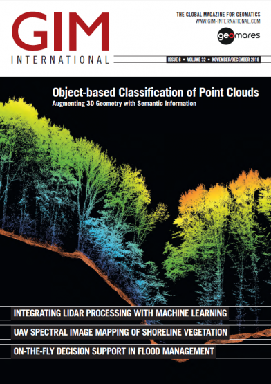
- Object-based Classifi cation of Point Clouds
- On-the-fl y Decision Support in Flood Management
- UAV Spectral Image Mapping of Shoreline Vegetation
- 3D UAS Mapping of a Copper Mine
- Monitoring 3D Urban Growth


