GIM - November/December 2019
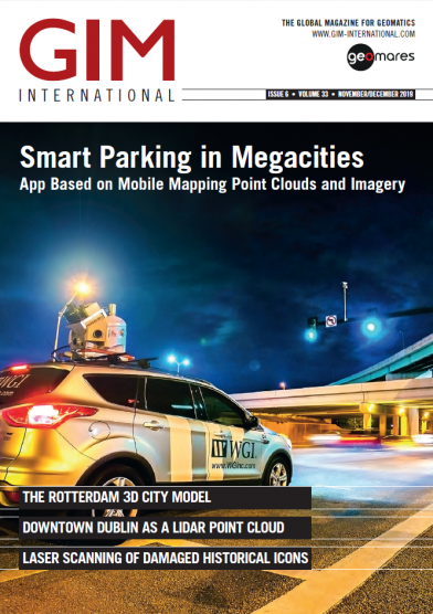
Mobile mapping systems are employed to acquire high-definition mapping data of the environment. The demand for 3D maps of cities and road networks is steadily increasing and mobile mapping systems are often the preferred acquistion method for capturing such scenes. [Image courtesy: WGI - www.wginc.com]
A selection of articles:
- P. 15: Night-time Mobile Mapping of Road Surface Luminance
- P. 19: Laser Scanning of Damaged Historical Icons
- P. 22: The Rotterdam 3D City Model
- P. 26: Downtown Dublin as a Lidar Point Cloud
- P. 32: Using PPP Corrections in Precise Real-time Applications


