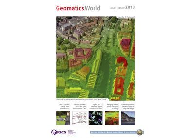
Geomatics world - January/February 2013
COVER STORY
Our cover image shows Blom's coverage over Bristol; BlomOBLIQUE at 5cm with a 3D point cloud generated from their MetroHD vertical imagery. Turn to page 14 for the full story.
This issue contains the following articles:
- Combining laser scanning and sonar
- Too many points?
- Scanning the Cliffs of Moher
- UAV helps map Britain’s latest nuclear site
- Micro UAVs: useable survey tools?
- Digidoc 2012
- ISPRS
- 123D. . . but is there a catch?
- RICS Geomatics in China


