Geomatics world - March/April 2014
COVER STORY
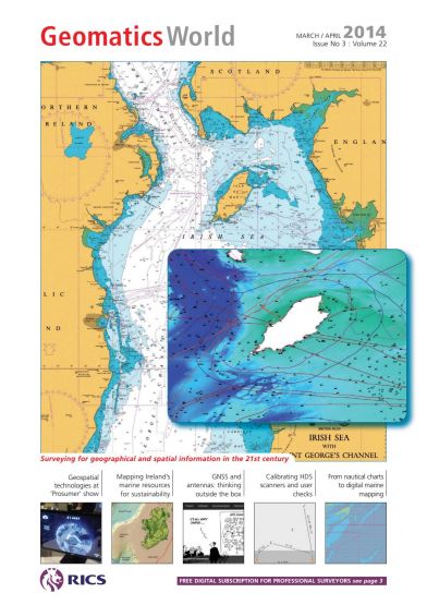
Admiralty Chart for the Irish Sea with Saint George’s Channel and digital marine themes overlayed.
This issue contains the following articles:
- 27 zones for the “prosumer” at electronics show
- Mapping Ireland’s marine resources
- Thinking outside the GNSS receiver and antenna box
- Digital Hydrography on the maritime web
- DIY: calibrating an HDS laser scanner
- Level 3 BIM: are we all ready?
- From nautical chart to digital maritime mapping
- The 2014 GeoForum Lecture


