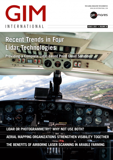
GIM - Issue 3 - 2021
This year’s third issue of GIM International is dedicated to aerial mapping. With a mix of content focusing on the latest in both photogrammetry and Lidar mapping technology, we aim to give you an overview of the current possibilities. We also shine a light on the benefits of capturing the environment with a manned aircraft.
This issue contains the following articles:
- P. 12 Recent Trends in Four Lidar Technologies
- P. 16 Lidar Crop Classification with Data Fusion and Machine Learning
- P. 21 Lidar or Photogrammetry? Why Not Use Both?
- P. 25 EAASI Continues to Gain Height
- P. 28 Building a 3D World: Common Sources of Elevation Data


