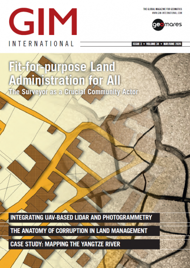
GIM - May/June 2020
Today's geospatial technology means that land administration systems can increasingly be implemented for the benefit of all. This issue of GIM International has a special focus on land management and the role of the mapping and surveying profession in this field.
This issue contains the following articles:
- Integrating UAV-based Lidar and Photogrammetry
- How 3D Scanning Rebuilds Crime Scenes for Courtrooms
- The Anatomy of Corruption in Land Management
- Fit-for-purpose Land Administration for All
- Mapping the Yangtze River
- Modernization of Suriname's Public Domain Cadastre
- The Evolution of FLEPOS 3.0


