
Why hasn’t the Earth observation industry taken off?
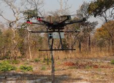
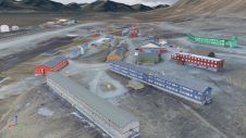
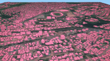
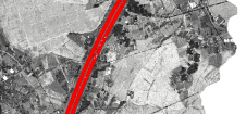
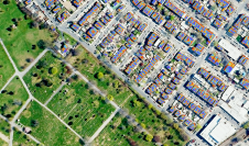
The Earth observation industry seems to be on a slow burn – but why? Brace yourself for a ‘rollercoaster ride’ through Earth observation as this article unravels the mysteries behind the muted g...