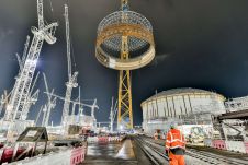
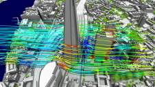
How can today's advanced technology solve the challenges that many organizations face after obtaining vast 3D point cloud datasets, such as the management, storage, registration, fusion and extraction of useful and actionable information? Instruments for digitizing the 3D real environment are becoming smaller, more lightweight, cheaper and more robust. Accordingly, they are finding increasingly widespread usage, not only on surveying tripods for the highest accuracy, but also on mobile platforms such as autonomous vehicles, drones, helicopters, aircraft, robotic vacuum cleaners, trains, mobile phones, satellites and Martian rovers. Lidar uses laser scanning, while photogrammetry records images from one or more cameras which may be...
(read more)