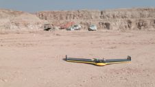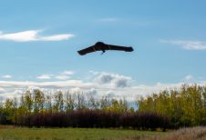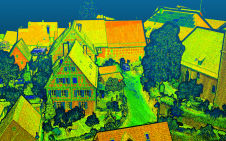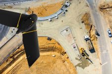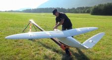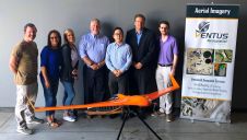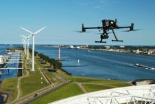
Terra Drone Invests in Dutch UAV Solution Provider Skytools
Terra Drone has announced an investment in Dutch drone solution provider Skytools, to offer corporate and government clients advanced drone solutions. The companies will together establish a drone hub in...