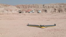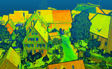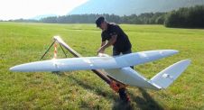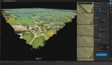
Pix4D Launches Software for Large-scale UAV Mapping
Switzerland-based photogrammetric leader Pix4D has announced the commercial release of Pix4Dmatic: digital photogrammetry software for accurate and fast corridor and large-scale mapping. Pix4Dmatic has been created to meet an evolving...