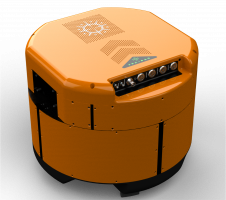
The convertible camera is here
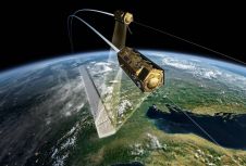
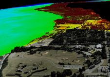
Our fast-changing world demands aerial cameras that are more productive, versatile and cost effective. The WARP Omni convertible camera is engineered to be highly competitive with satellite and UAV imaging, allowing you to leverage your expertise in aerial mapping for a broader range of applications. Our fast-changing world demands aerial cameras that are more productive, versatile and cost effective. The WARP Omni convertible camera is engineered to be highly competitive with satellite and UAV imaging,...