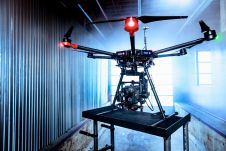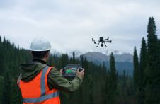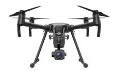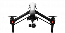
CompassDrone Introduces Integration of DJI Video with ArcGIS
Full motion video (FMV) captured by the best-selling UAVs in the world can now be viewed, queried and used for professional mapping projects in Esri ArcGIS. CompassDrone will introduce DJI2FMV,...