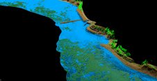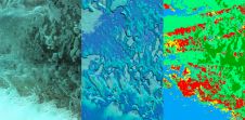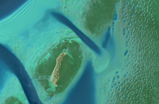
NV5 Geospatial maps over 10 million hectares of North America's coastline and rivers
A decade after completing its first shoreline mapping project, NV5 Geospatial has mapped over 10.5 million hectares of North America’s shoreline and riverine environments for more than 200 projects. These...