Propeller Aero and Wingtra to Deliver Drone Surveys for AEC Industry
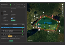
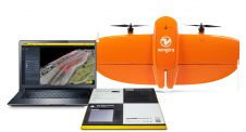
Propeller Aero and Wingtra have joined forces to deliver accurate site data and 3D mapping to construction and earthworks companies across the globe. Propeller Aero is a drone data visualization...