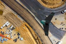
UAV Geomatics
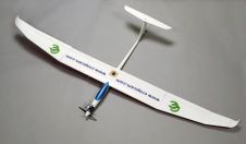
The most new activity in remote sensing is at the moment found in the UAV and UAS sector (Unmanned Aerial Vehicle / System). There are hundreds of companies, institutions and...

In the rapidly evolving landscape of geospatial technology, the annual Trimble Dimensions gathering is a dependable beacon for the surveying and mapping fields, providing a panoramic view of the current...

Intergeo 2023 was an electrifying three-day event in Berlin, transforming the city into the global geospatial capital. From 10-12 October, professionals from across the globe convened for the world’s premier...
Unmanned aerial vehicles (UAVs or ‘drones’) have become popular instruments for a wide range of emerging applications such as mapping, search & rescue, infrastructure monitoring, precision farming, transport of goods...
How can city digital twins support the attainment of SDG11? They can be used to manage infrastructures (e.g. roads, transportation and public services, smarter energy grids and water networks), support...
Innovations in Lidar technology continue to change the way we see our world – literally. There’s no denying that the Lidar sector is growing at an exponential rate. Research by...
Atmos UAV has launched Marlyn, the first hybrid unmanned aerial vehicle (UAV or ‘drone’) in its class that is developed to operate at higher wind speeds while maintaining its helicopter...
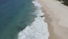
After Rwanda made waves in the news early last year for allegedly being the first country to approve drone-based deliveries, people started paying attention. The country, with its rolling hills...
This site uses cookies. By continuing to use this website, you agree to our Cookies Policy. Agree