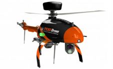
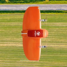
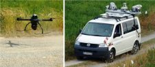
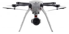
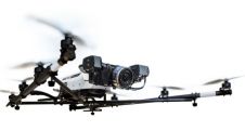
Found 71 results
Sort by

Tandem for 3D Corridor Mapping

3D mapping of roads, pipelines and other linear structures – often called corridors – is an important geomatics activity. Geodata acquisition technologies, which are increasingly used for corridor mapping and...

Read more

GerMAP Launches New Aerial Mapping UAV

G170-V, a vertical take-off and landing (VTOL) fixed-wing unmanned aerial vehicle (UAV), is the latest UAV German-based GerMAP has added to the remote sensing and aerial mapping market. G170-V ideally...

Read more

Trimble Sells UAS Division to Delair-Tech

Trimble has announced that Delair-Tech has acquired its Belgium-based Gatewing unmanned aircraft system (UAS) engineering and manufacturing business. Delair-Tech is a leading provider of long-range, fixed-wing UAS solutions for industrial...

Read more