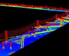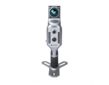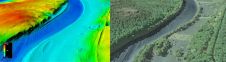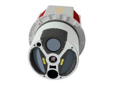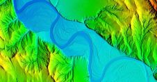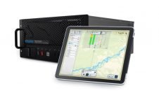
Teledyne launches real-time airborne Lidar workflow solution
Teledyne Geospatial has released the Galaxy Onboard, a workflow-focused solution that enables airborne surveyors to deliver quality-controlled processed data in real time. With Galaxy Onboard, Teledyne Geospatial has lowered the...