Navigating the geospatial frontier
In this exclusive interview, two of the driving forces behind this year's Intergeo talk about the event's evolution and impact, nurturing talent, land surveying, Earth observation and the Blue Economy....
In this exclusive interview, two of the driving forces behind this year's Intergeo talk about the event's evolution and impact, nurturing talent, land surveying, Earth observation and the Blue Economy....
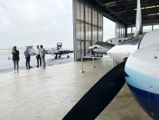
What are the challenges of image-based data acquisition for photogrammetric mapping and mesh modelling? And how can photogrammetry be made accessible? The annual Open Day Photogrammetry provided some answers to...
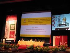
A keynote address at the XXV FIG Congress (Kuala Lumpur, Malaysia, 16-21 June) by Chris Rizos, IAG president, on ‘Opportunities & Challenges for the Surveying Industry in a Multi-system GNSS...
In 1862, the Prussian General Johann Jacob Baeyer initiated the Central European Arc Measurement (Mitteleuropäische Gradmessung) project. By the end of that year 15 countries had affirmed their participation, and...

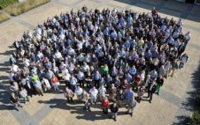
The highly anticipated conference at Intergeo 2023 is set to bring together the global geospatial community from 10-12 October at the prestigious Messe Berlin exhibition grounds. Notably, this year’s event...
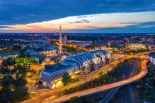
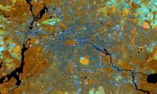
As the host city of Intergeo 2023 this October, Berlin promises to deliver the perfect kick-start for the geospatial industry in these rapidly changing times. The vibrant German capital is...

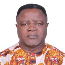
Okwuchukwu Nwaka lectures in basic surveying in the Department of Geoinformatics and Surveying on the University of Nigeria Enugu campus. He has an MSc in Geoinformatics and Surveying and is...
Elijah Ebinne lectures in advanced surveying and geospatial sciences in the Department of Geoinformatics and Surveying on the University of Nigeria Enugu campus. He has a PhD in Remote Sensing...

Numerous groups of students assembled on the National Mall in Washington, D.C., USA, to conduct surveys of the surrounding area amidst the peak of this year's cherry blossom bloom. Among...
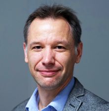
Werner Lienhart is a full professor and head of the Institute of Engineering Geodesy and Measurement Systems at Graz University of Technology, Austria. Prior to this position, he was product...
This site uses cookies. By continuing to use this website, you agree to our Cookies Policy. Agree