Found 2894 results
Sort by

Global Standards for Hazard Detection

The US Department of Energy’s Oak Ridge National Laboratory (ORNL) and strategic partners, including the National Oceanic and Atmospheric Administration (NOAA) and the private sector, are designing and developing SensorNet,...

Read more

EarthMap Solutions Unveils Product Line

EarthMap Solutions, LLC (CO, USA) presented it products for customers using remote sensing tools for agriculture, environmental and forestry land management. EarthMap Solutions (EMS), a spin-off of DigitalGlobe’s agriculture business,...

Read more

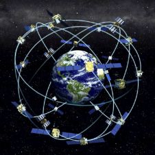
GPS: Position, Time and Distance

Receiver position is calculated from the position of satellites and the distances to them. Distance is calculated from the time a radio signal travels between satellite and receiver. But how...

Read more

Massive High-resolution Digital Content

LizardTech delivers wavelet-based imaging software for managing and distributing massive high-resolution digital content such as aerial photography and satellite imagery and scanned colour documents. Main products include GeoExpress with MrSID...

Read more

Cartography for Everyone - You Too!

Since June 2004 ICA has been publishing a monthly one-page column in GIM International. Dr David Fairbairn is responsible for ensuring content for the ICA page and is himself a...

Read more

Cartography for Everyone - You Too!

Since June 2004 ICA has been publishing a monthly one-page column in GIM International. Dr David Fairbairn is responsible for ensuring content for the ICA page and is himself a...

Read more