Found 4927 results
Sort by

Lidar in surveying & mapping

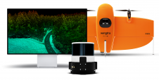
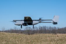
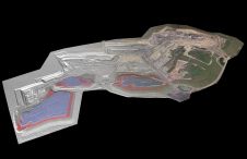
Lidar, short for Light Detection and Ranging surveying, represents a sophisticated measuring system leveraging the power of light. Widely recognized for its versatility, Lidar is extensively applied in diverse fields...

Read more

Detlef Angermann

Detlef Angermann holds a doctorate in Geodesy and heads the Focus Area Reference Systems at the Deutsches Geodätisches Forschungsinstitut (DGFI-TUM) of the Technical University of Munich. His research focuses on...

Read more