GIM - Issue 3 - 2023
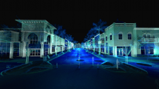
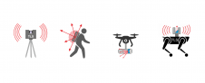
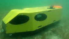
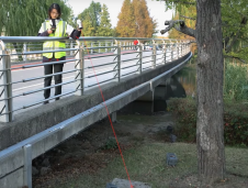
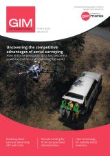
Special cameras and sensors allow surveyors to acquire images and other geospatial information about the Earth and the environment. Special cameras and sensors allow surveyors to acquire images and other geospatial information about the Earth and the environment. While both image-based solutions and laser-scanning methods are evolving rapidly, there...