The case for natural capital accounting
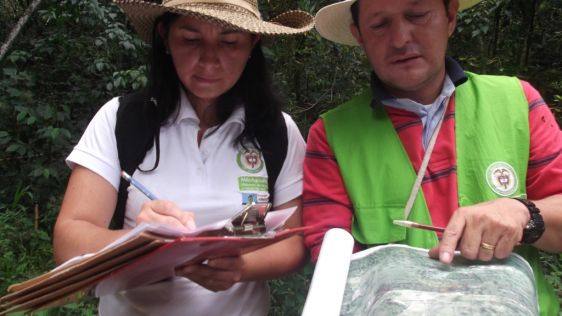
Case studies in the Philippines demonstrate the importance of timely geospatial information in natural capital accounting, which harmonizes environmental sustainability with econom...
Every month we will focus on a specific theme, featuring a selection of articles which have previously been published in GIM International.. By including a mix of older and more recent articles, we will present a complete recap of the subject. Furthermore, we will be bringing you a bi-weekly round-up of ‘Focus Stories’ related to the theme through our newsletter.
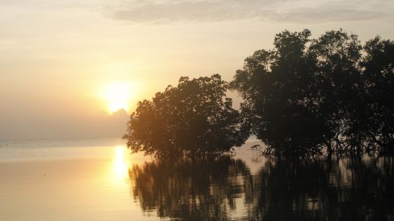
Case studies in the Philippines demonstrate the importance of timely geospatial information in natural capital accounting, which harmonizes environmental sustainability with econom...

The Faroese Environment Agency, responsible for national mapping activities including land mapping and hydrographic surveying, has recently joined EuroGeographics, the representati...
There are indications that today’s technological advances are putting a fully operational multipurpose cadastre within reach, following decades of a global vision and small-s...

Over the past 20 years, various initiatives have been launched reflecting the importance of cadastral data for land management and spatial development. But how have these initiativ...

Intergeo 2023 was an electrifying three-day event in Berlin, transforming the city into the global geospatial capital. From 10-12 October, professionals from across the globe conve...
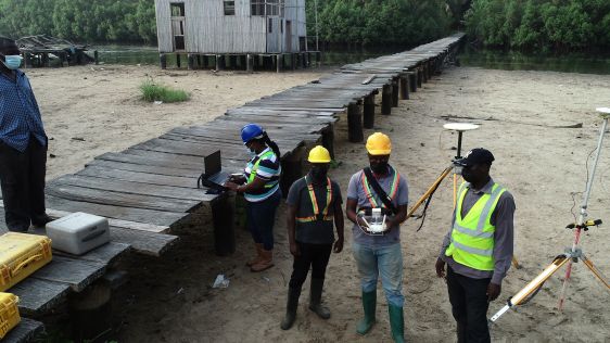
Incorporating smart methodologies in cadastral surveying is improving the land acquisition system in Ghana. Traditional cadastral surveying is time-consuming and, if not planned ou...
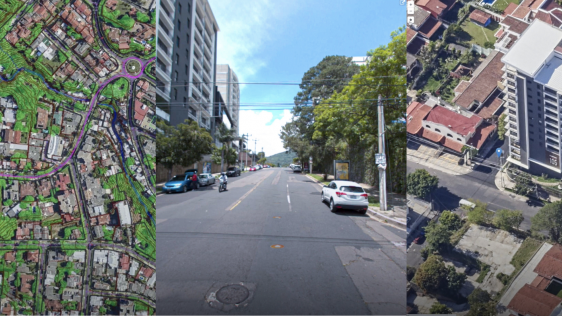
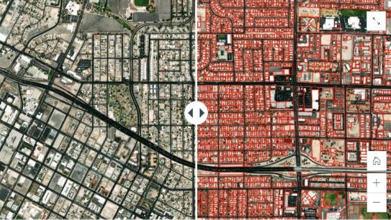
Through the National Registry Center (CNR), the government of El Salvador is embarking on a large-scale project to map the complete country (an area of 20,742km2), with the 14 depa...
Thierry Ngoga, Head of Support to State Capability at AGRA, considers the valuable lessons offered by Rwanda’s recent land governance reforms. In Africa, land reform can be a...
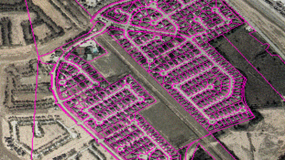
Today’s geospatial technology means that land administration systems can increasingly be implemented for the benefit of all. It is now possible to conceive approaches to capt...

How is it possible that so many poor, vulnerable people and small farmers are the ones to suffer when their land is grabbed by the state, large investors or local elites? Doesn&rsq...

The issues of land ownership and land use rights are high on the Global Agenda 2030. 50% of the Sustainable Development Goals are land-related. A very rough estimation for reaching...
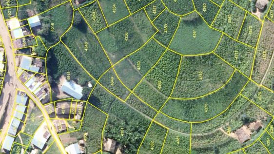
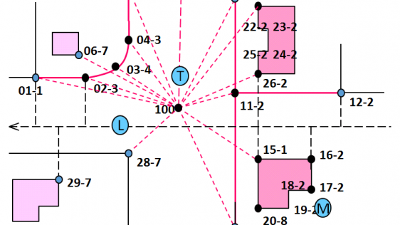
Traditional techniques for developing land administration include high-accuracy field-based surveying of the property boundaries by certified surveyors, and may still be a desired...

It is well understood that secure land tenure is a fundamental precondition for progress in developing economies. Typically, this is expressed with a map, but the hurdles to succes...
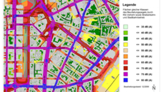
In recent years, Germany's national mapping and cadastre information systems have become increasingly focused on demands for multidimensional applications, e.g. environmental...
There is an urgent need for the administration of property and land use rights worldwide as the basis for social and economic growth. Notwithstanding the enormous investments by go...

A year ago GIM International took the opportunity to interview the general director of the Greek Cadastre, Akis Markatos. Earlier in 2014, work had started on the completion of the...
Every month we will focus on a specific theme, featuring a selection of articles which have previously been published in GIM International magazine, to present a complete recap of the subject. If you don't want to miss these themed recaps, sign up for the newsletter (sign up here).
Follow GIM International on Facebook, LinkedIn, Twitter or sign up for the newsletter! Don't miss the latest developments: join GIM International!
 |  |  |  |
| 29.769 SUBSCRIBERS | 22.513 MEMBERS | 9.484 LIKES | 8.739 FOLLOWERS |
This site uses cookies. By continuing to use this website, you agree to our Cookies Policy. Agree