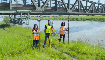
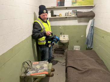
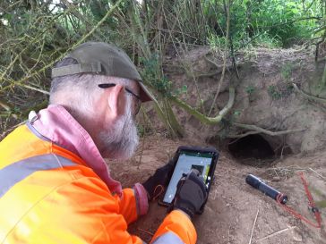
• News
  • Articles
  • Case Studies
  • Magazine
  • About us
GIM International
  • Surveying and mapping
    • Land surveying and topography
    • Remote sensing
    • Marine surveying and bathymetry
    • Positioning
    • Metrology
  • Geosciences
    • Geology
    • Geophysical surveying and seismics
  • Geodesy
  • Cartography and GIS
  • Company Guide
GIM International
  • Mapping the world
  • ›
  • Themes
  • ›
  • Mobile Mapping

Mobile Mapping

Collecting geospatial data from a moving platform is known as mobile mapping. Mobile mapping systems are often equipped with a variety of photographic, radar, Lidar or other types of remote sensing systems. GIM International has picked a selection of the best mobile mapping stories, ranging from mobile mapping using cars to other platforms such as a backpack.

New dataset provides insights into coastal change and management
earth observation

New dataset provides insights into coastal change and management

January 24, 2023

A new paper published in 'Scientific Data' presents the ‘CoastTrain’ dataset, a collection of orthomosaic and satellite images of coastal environments along with corresponding labels. The dataset ...

Read more→
Atmos Enhances Surveying Capabilities with Integration of Sony Cameras
aerial mapping

Atmos Enhances Surveying Capabilities with Integration of Sony Cameras

January 19, 2023

Atmos has integrated Sony α7R mark III and IV cameras into its drones to increase the coverage and accuracy achieved in a single flight. The Dutch manufacturer of high-end vertical takeoff and landi...

Read more→
Esri India Introduces Policy Maps for Data-driven Governance
geospatial data applications

Esri India Introduces Policy Maps for Data-driven Governance

January 19, 2023

Esri India has unveiled Policy Maps to facilitate data-driven policymaking in India. The announcement was made during Esri India’s annual flagship event, the Esri India User Conference, which was h...

Read more→
UAV Remote Sensing for Smart Agriculture
agriculture

UAV Remote Sensing for Smart Agriculture

January 19, 2023

‘Smart agriculture’, i.e. the efficient use of Earth's resources to feed the world, requires accurate and advanced data acquisition, modelling and management. UAVs can play a critical role in this...

Read more→
Lidar Survey Unveils Taranaki Region's 3D Landscape
airborne Lidar

Lidar Survey Unveils Taranaki Region's 3D Landscape

January 18, 2023

A new, high-tech aerial laser survey project has been completed in the New Zealand region of Taranaki, producing an exact 3D map of the region's land surface. The survey, conducted by Toitu Te Whenua ...

Read more→
HERE Launches Advanced AI-based Mapmaking Technology
digital maps

HERE Launches Advanced AI-based Mapmaking Technology

January 13, 2023

HERE Technologies, a world-leading location platform, unveiled UniMap at CES 2023, describing it as a "revolutionary, highly automated mapping technology" that enables rapid creation of digital maps a...

Read more→
Evercam 4D View Integrates Real-time Video with Digital Twin Technology
digital twin

Evercam 4D View Integrates Real-time Video with Digital Twin Technology

January 11, 2023

Evercam has announced the addition of Evercam 4D View to Bentley Systems’ powered by iTwin programme. Evercam 4D View helps project teams leverage engineering and design data to better understand th...

Read more→
Airbus and VDL Group to Develop Airborne Laser Communication Terminal
big data

Airbus and VDL Group to Develop Airborne Laser Communication Terminal

January 10, 2023

Airbus and VDL Group have entered into a strategic partnership to jointly develop and manufacture a cutting-edge laser communication terminal, named UltraAir. The partnership builds on the research an...

Read more→
How India Leverages Geospatial Technologies for Urban Management
urban planning

How India Leverages Geospatial Technologies for Urban Management

January 6, 2023

This article explores how some government initiatives in India are utilizing geospatial technologies for better outcomes. The rapid pace of urbanization in India has been an instrument of socioeconomi...

Read more→
Private Equity Firm to Acquire Maxar for US$6.4 Billion
earth observation

Private Equity Firm to Acquire Maxar for US$6.4 Billion

January 4, 2023

Maxar Technologies has entered into a definitive merger agreement with Advent International, a global private equity investor. The all-cash transaction values Maxar at an enterprise value of around US...

Read more→
Handheld 3D Scanning of Oxford's Sheldonian Theatre
SLAM

Handheld 3D Scanning of Oxford's Sheldonian Theatre

January 4, 2023

Researchers from the Oxford Robotics Institute (ORI) have developed a lightweight, handheld device that can create accurate 3D maps of entire buildings in a matter of hours. The device combines five c...

Read more→
BAAM.Tech Named North American Distributor for Terrasolid
point cloud

BAAM.Tech Named North American Distributor for Terrasolid

January 4, 2023

BAAM.Tech has reached an agreement with Terrasolid, Helsinki, Finland, to become its North American software distributor and technical support partner. BAAM.Tech is an affiliate of GBA Companies with ...

Read more→
Asia’s Leading Geospatial Industry Event Returns to Singapore
geospatial community

Asia’s Leading Geospatial Industry Event Returns to Singapore

January 4, 2023

Geo Connect Asia celebrates the return to a normal meeting environment in March 2023 in Singapore, combining an exhibition of more than 100 companies and a series of conferences. The Main Stage Confer...

Read more→
Can Digital Twin Techniques Serve City Needs?
3D city modelling

Can Digital Twin Techniques Serve City Needs?

December 21, 2022

While digital twin techniques have been applied successfully in manufacturing and construction, cities are so complex that they require more measuring and modelling effort. Moreover, since they are ev...

Read more→
Vodafone Creates Digital Twin of UK Mobile Mast Network
digital twin

Vodafone Creates Digital Twin of UK Mobile Mast Network

December 21, 2022

Vodafone has partnered with Esri to create a digital twin of its network of mobile masts. This will enable real-time monitoring of the network, helping to ensure the best possible service for the comp...

Read more→
  • ←Prev
  • 1
  • 2
  • 3
  • 4
  • 5
  • Next→
GIM International
Geomares
GIM International is the independent and high-quality information source for everything the global geomatics industry has to offer, online and offline! We provide information about all the major topics in the business, such as mapping & surveying, geodesy, cartography, Lidar, GIS, photogrammetry, UAV/UAS, GNSS, remote sensing and more.

Themes

  • Lidar
  • GIS
  • UAS/UAV
  • GPS
  • GNSS
  • Mobile Mapping
  • Point Clouds

General

  • Advertise
  • About us
  • Contact
  • Contribute

Follow GIM

  • Newsletter
  • Facebook
  • LinkedIn
  • Twitter
  • News RSS Feed
  • Articles RSS Feed
  • Privacy
  • Cookies
  • Terms & Conditions
  • Sitemap
  • Contact
  • Advertise

© 2023 Geomares. Copyright reserved.

GIM International
  • Surveying and mapping
    • Land surveying and topography
    • Remote sensing
    • Marine surveying and bathymetry
    • Positioning
    • Metrology
  • Geosciences
    • Geology
    • Geophysical surveying and seismics
  • Geodesy
  • Cartography and GIS
  • Company Guide

This site uses cookies. By continuing to use this website, you agree to our Cookies Policy. Agree