SimActive announces upgraded cloud capabilities
SimActive has unveiled the enhancement of Correlator3D for improved cloud environment productivity. With Correlator3D’s distributed processing capabilities, clients can seaml...
Every month we will focus on a specific theme, featuring a selection of articles which have previously been published in GIM International magazine. By including a mix of older and more recent articles, we will present a complete recap of the subject. Furthermore, we will be bringing you a bi-weekly round-up of ‘Focus Stories’ related to the theme through our newsletter (sign up here). The theme for January 2016 is:
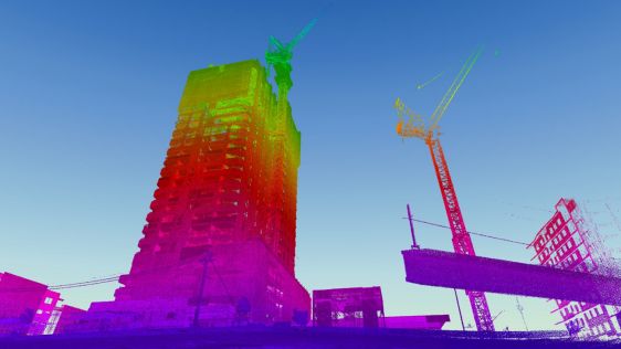
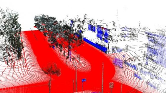
A point cloud is basically a large collection of points that are placed on a three-dimensional coordinate system. Point cloud files greatly speed the design process by providing real-world context where you can re-create the referenced objects or insert additional models. Point clouds are derived from raw data gathered by using a 3D scanner to obtain points from such things as buildings, topographies, or manufactured items.

SimActive has unveiled the enhancement of Correlator3D for improved cloud environment productivity. With Correlator3D’s distributed processing capabilities, clients can seaml...
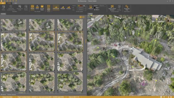
Virtual Surveyor has added drone photogrammetry capabilities to the latest release of its popular Virtual Surveyor smart drone surveying software. The new Terrain Creator app photo...
Pix4D has introduced OPF, a new standard for exchanging photogrammetry projects. OPF is a fully open and free specification, enabling the storage and exchange of photogrammetric da...
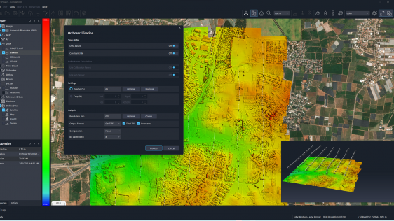
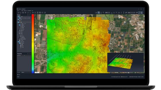
SimActive has announced the release of Correlator3D Version 10. This latest version comes with a completely redesigned user interface, featuring a new dark mode option, and also al...

Today, after 100 years of continuous innovation in airborne photogrammetry, entire countries can be mapped faster than ever before. Which advancements and trends have dirven the de...
When it comes to 3D modelling for construction, what are the advantages and disadvantages of photogrammetry versus Lidar in terms of accuracy, complexity and cost? Breaking away fr...
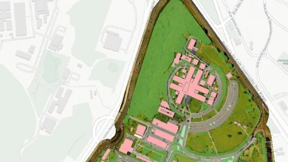
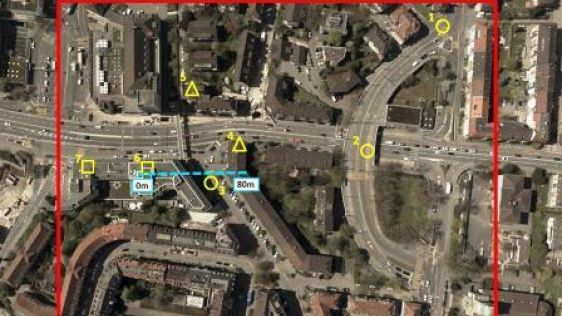
A pilot project conducted at a university campus in Curitiba, Brazil, aimed to create outdoor maps using UAS photogrammetry as well as indoor floor plans. At universities, facility...
Dramatic advances in automatic digital image analysis have opened up new applications and made photogrammetry applicable for a broader field of users that lack specific knowledge o...

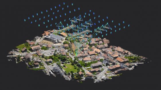
Photogrammetry is the science of making measurements from photographs.The output of photogrammetry is typically a map, drawing, measurement, or a 3D model of some real-world object or scene.
Many of the maps we use today are created with photogrammetry and photographs taken from aircraft.

The A3 Edge digital mapping system is a sweeping camera system able to produce high-resolution and accurate imagery from high flight altitudes and hence to conduct surveys quickly...
Until now, most commercially available airborne Lidar systems have operated on one single wavelength, reflecting energy from a pulse which is then used for classification or visual...
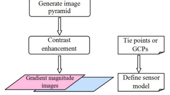
3D reconstruction using dense image matching is a hot topic as it enables the automatic extraction of 3D urban models, notably from airborne oblique imagery. However, applying DIM...
The ancient imperial city of Fez, Morocco, is an important tourist attraction and has been listed as a UNESCO World Heritage Site since 1981. The layout of the city is complex, whi...
Currently, the extraction of objects from point clouds of urban sites is commonly done manually as automation is impeded by noise, clutter, occlusions and varying point density. Th...

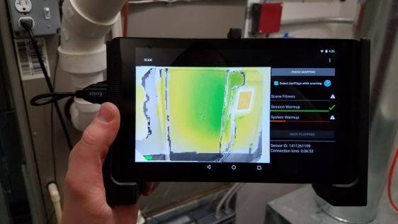
Motivated by the increasing need of rapid characterisation of environments in 3D, the authors have designed a robot system that automates the work of an operator of terrestrial las...
Follow GIM International on Facebook, LinkedIn, Twitter or sign up for the newsletter! Don't miss the latest developments: join GIM International!
 |  |  |  |
| 29.769 SUBSCRIBERS | 22.513 MEMBERS | 9.484 LIKES | 8.739 FOLLOWERS |
This site uses cookies. By continuing to use this website, you agree to our Cookies Policy. Agree