SimActive's GCP method demonstrates enhanced accuracy
SimActive has reported that the use of its Correlator3D product along with ground control points can enhance, extend and validate photogrammetry projects.
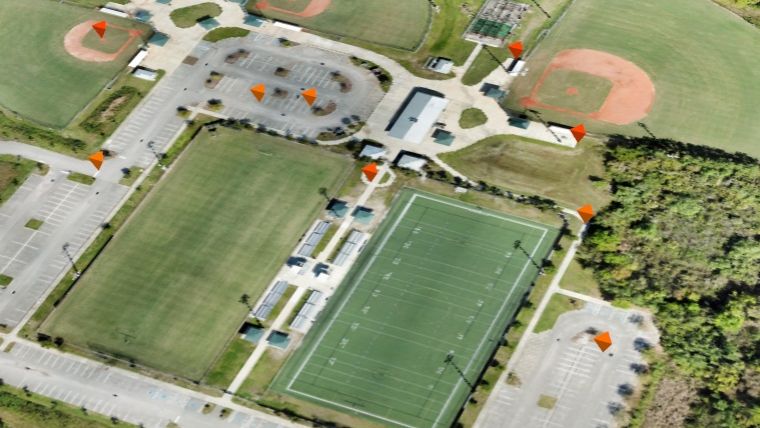
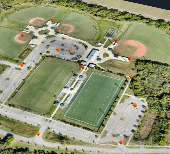
GCPs are critical in photogrammetry projects, but there is always a trade-off in the number of points that must be collected and the associated costs. Correlator3D allows users to import their collected GCPs or to load previously acquired GCPs by third-party vendors such as CompassData. The software also enables the import of existing surfaces, such as Lidar points, which can then be used to extract GCP’s. The ability to manually create GCPs from an existing surface is beneficial to supplement field collected GCPs where more density is needed.
“Our GCP archive contains over 70,000 points worldwide,” said Philipp Humel, vice president of CompassData. “When used with high-end photogrammetry software such as Correlator3D, and in combination with manually collected surface derived GCPs, users can validate the accuracy of their projects.”
Control freaks
The narrative of CompassData demands attention, as it transcends the conventional corporate narrative. Founded in 1994 in Centennial, Colorado, and formally incorporated as a Women Owned Small Business, CompassData epitomizes a distinct consortium led by CEO Kate Schlatter and executive vice president Hayden Howard. Renowned as the 'control freaks', CompassData has meticulously amassed over 70,000 Ground Control Points across six continents. CompassData provides a commercially accessible archive of Ground Control Points on a global scale, supporting essential processes like orthorectification, airport mapping, data verification, and sensor calibration.
It is no coincidence that these two companies complement each other. SimActive's Correlator3D solution is recognized as a respected end-to-end photogrammetry software suite, enabling users to produce high-quality data from aerial or satellite imagery as well as uncrewed aerial vehicles (UAVs or 'drones'). Currently, Correlator3D utilizes Lidar for registration, replacing traditional and labour-intensive ground control points.

Value staying current with geomatics?
Stay on the map with our expertly curated newsletters.
We provide educational insights, industry updates, and inspiring stories to help you learn, grow, and reach your full potential in your field. Don't miss out - subscribe today and ensure you're always informed, educated, and inspired.
Choose your newsletter(s)


