Elevating knowledge: read our in-depth features
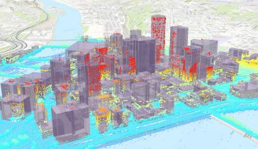
An increasing number of cities are creating 3D city models to support visualization and simulations in the urban planning process. The 3D city models are often extended with planned buildings. One way...
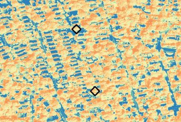
The possibilities of geoAI for monitoring Mother Nature are limitless according to Dr Nadina Galle, an ecological engineer and entrepreneur dedicated to applying emerging technologies. The use of sate...
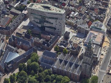
The Dutch city of Groningen wants to follow in the footsteps of other cities such as Rotterdam, Hamburg, Singapore and Helsinki by developing a 3D digital model. For the team working on the 3D Digital...
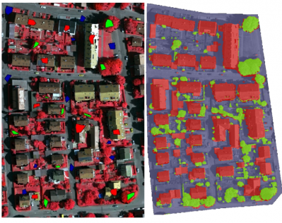
Working with Pittsburgh’s City Planning Department, a Carnegie Mellon University research team completed an in-depth study of the current use of 3D software for planning tasks and public communicati...
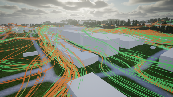
From New York to Dubai to Myanmar, more smart cities are springing up across the globe. As more countries start to digitally transform, the futuristic cities and state-of-the-art gadgets that once be...
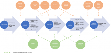
Spatial planning – the focus of commission 8 – is logically much related to the subtheme ‘integrated land and water management’ of the FIG Working Week 2020. From a planners’ perspective it ...

Dublin City University (DCU) has partnered with Bentley Systems to spearhead the creation of an advanced digital twin of its campus as a pivotal element of its Smart DCU initiative. This collaborative...

Our weekly newsletter is an easy way to stay updated with our latest articles, news, and magazines. It's the easiest way to stay current with the industry.
Subscribe to our newsletter(s)This site uses cookies. By continuing to use this website, you agree to our Cookies Policy. Agree