Selecting Cameras for UAV Surveys
With the boom in the use of consumer-grade cameras on unmanned aerial vehicles (UAVs) for surveying and photogrammetric applications, this article seeks to review a range of differ...
Top Stories
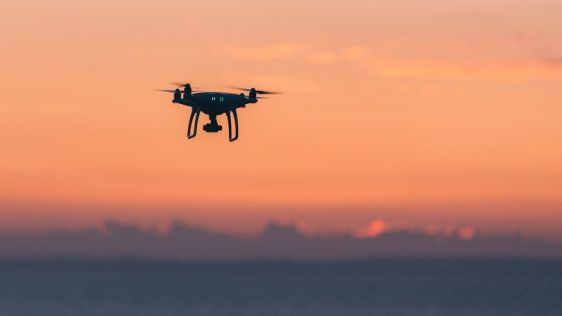
With the boom in the use of consumer-grade cameras on unmanned aerial vehicles (UAVs) for surveying and photogrammetric applications, this article seeks to review a range of differ...
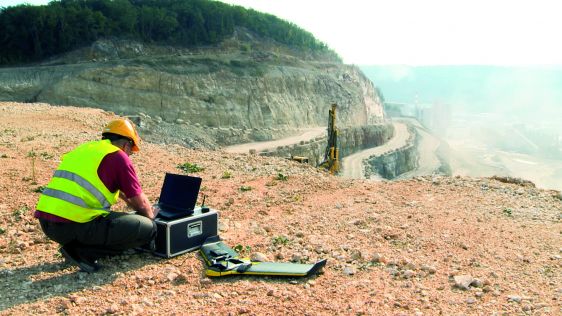
Nowadays, it’s hard to imagine the geomatics industry without unmanned aerial vehicles (UAVs) – and yet they only arrived on the scene around five years ago. When the v...

Airborne laser scanning (ALS) offers a range of opportunities for mapping and change detection. However, due to the large costs typically associated with traditional ALS, multi-tem...
 Over the past couple of years, unmanned aerial vehicles (UAVs or ‘drones’) have become a vital tool for the surveying and mapping industry. Equipped with a variety of sensors, they add a new dimension to the capture of geospatial data. Drone technology is developing rapidly, but the UAV itself is not the only thing that counts; the type and quality of data collected also depends on the payload. This section of our website informs you about the latest trends in the field of unmanned aerial mapping relating to capturing, processing and visualising the data in various mapping applications. In-depth articles, case studies, interviews and columns will provide you with new insights regarding the professional use of UAVs.
Read the April issue of GIM International, which has a special focus on UAVs.
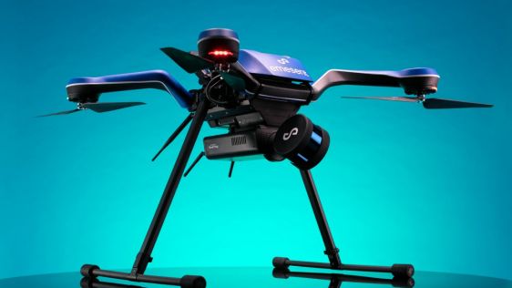
The Commercial UAV Expo is the place to learn about the most exciting new technologies in UAVs. Returning this year, it hosts an innovative solution with the official unveilin...
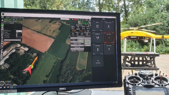
SPH Engineering announced that the Velos UAV helicopter has passed field tests to become the first single rotor helicopter supported by UgCS software. UgCS now enables helicopter p...
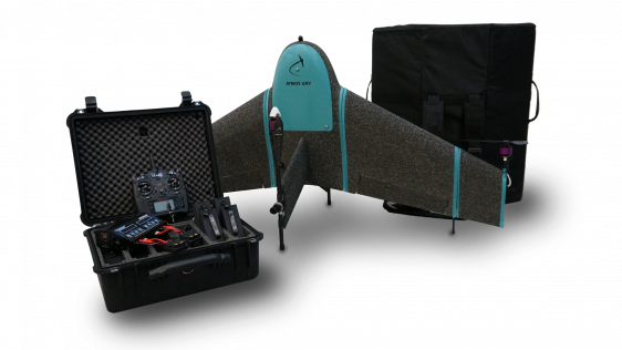
Atmos UAV has formed a new partnership with Topcon towards a base station-free era. Atmos UAV is a fast-growing Dutch drone manufacturer that develops high-end VTOL fixed-wing dron...
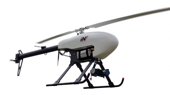
LiDARUSA, a leading company in the design and integration of Lidar sensors, has announced a partnership with Innoflight Technology, a manufacturer specializing in unmanned aerial v...
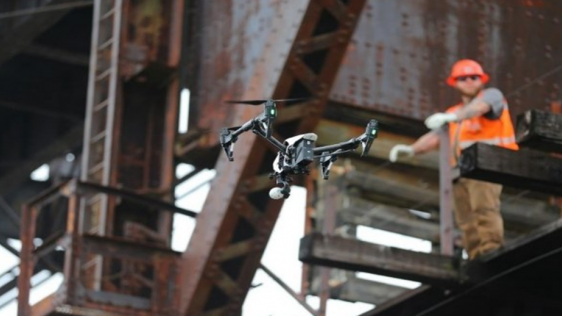
UAVs with a higher level of autonomy can make civil engineering inspections safer, faster and more accurate, plus they support the monitoring of infrastructural changes over time....
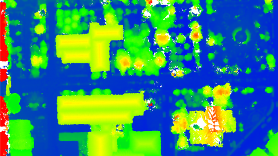
DJI recently introduced the P4 multispectral, a high-precision unmanned aerial vehicle (UAV or ‘drone’) which exploits the integration of multispectral cameras to facil...
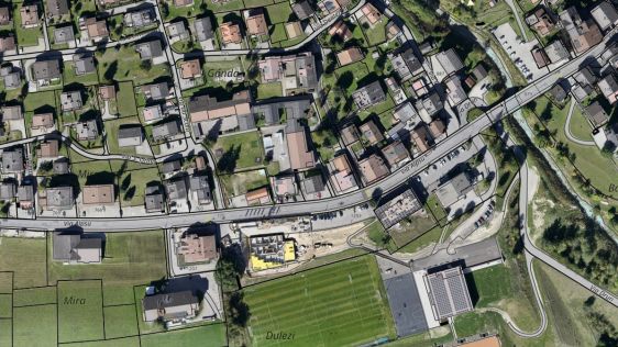
Are you thinking about using drones for land administration projects, but don't know where to start? Read on for advice from our specialists. For our ‘Ask the specialist&rsqu...
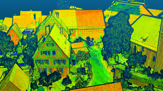
Lidar mapping based on unmanned aerial vehicles (UAVs or ‘drones’) can generally be thought of as a close-range version of manned airborne laser scanning. In brief, low...
 GIM International and other surveying and mapping literature, there have been many articles describing the use of UASs, new developments and precautions that need to be taken to achieve satisfactory results. Read the full story here.
 The interest is in UAV mapping is visibly shifting towards payloads and software to capture, visualise and process the data; UAVs are the apparatus, but it’s the sensors and software that really count. GIM International touched base with a company that serves as a good example of the current transformation, and spoke to 3D Robotics. Read the interview here
This site uses cookies. By continuing to use this website, you agree to our Cookies Policy. Agree