The Incremental Improvements in GNSS
What is the current state of GNSS, from both a constellation, augmentation and receiver perspective? Spoiler alert: it is more of an evolution than a revolution! It is almost impossible to imagine geo...
This page is dedicated to GNSS. Not only is positioning crucial for today's geomatics professionals, but GNSS also plays an essential role in people's everyday lives. With in-depth stories on GNSS, this page brings you up to date on the current status of positioning and surveying.
What is the current state of GNSS, from both a constellation, augmentation and receiver perspective? Spoiler alert: it is more of an evolution than a revolution! It is almost impossible to imagine geo...
GNSS… it’s almost impossible to run a modern geo-related business without it. But what if a problem should occur? Whether in navigation, surveying or even agriculture, countless activities almost ...
Satellite surveying… are there any industry professionals out there not using it on (almost) a daily basis? Over the last 30 years, GNSS has become the main positioning instrument for most applicati...
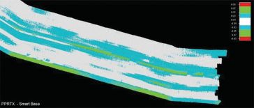
Applanix’s POSPac MMS GNSS Inertial software, in particular the Applanix SmartBase (ASB) post-processed virtual reference station technique, has been widely adopted as a robust and reliable method o...
Richard Groom provides pointers to articles from the FIG Congress in May. Papers can be downloaded from https://bit.ly/2yz8xlB. Changing Survey Muller and Klein (TS06C) look at moves to update the rol...
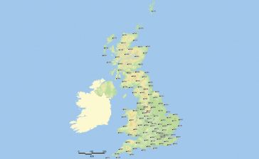
A short provision in the larger Islands Act bill passed by the Scottish Parliament in July 2018 now requires government mapmakers to put the Shetland Islands where it belongs. Tavish Scott, a politici...
Ordnance Survey (OS) has just updated its geodetic infrastructure. Mark Greaves, Lead Consultant at Geodesy, describes these developments and takes a look at shorter and longer-term geodetic issues fo...
The theme of this issue of Geomatics World is GNSS. Geodesy was once very much in the domain of surveyors but today the use of satellite data for positioning is ubiquitous and with 95% of the populati...
Richard Groom summarises some of the interesting papers from the FIG Congress focussing on GNSS, Hydrography, 3D Cadastre and mapping. GNSS – Detecting Cycle Slips Roberts and Hancock (TS03E) presen...
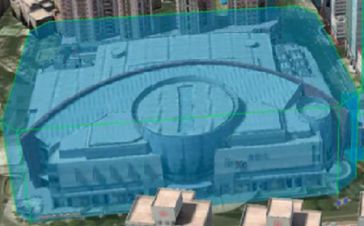
Continuously operating reference stations (CORS) are permanent GNSS stations that log and disseminate GNSS observations continuously to meet various user needs. CORS networks have been going up all ov...
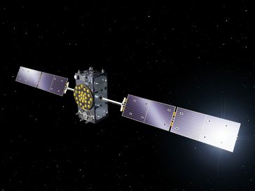
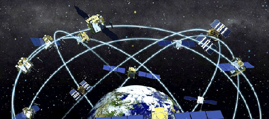
GNSS stands for global navigation satellite system and refers to a constellation of satellites, which provide signals from out of space for positioning. A GNSS has global coverage. There are several GNSS systems: GPS (United States of America), Glonass (Russian Federation), Galileo (Europe) and Beidou (China).
News and Articles about GNSS
Read the latest GNSS news and developments. Every GNSS related news item ever published at GIM International can be found here. If you don't want to miss any news, follow GIM International online on social media or subscribe to our newsletter.
This site uses cookies. By continuing to use this website, you agree to our Cookies Policy. Agree