GNSS, Cadastres and Drones
Richard Groom summarises some of the interesting papers from the FIG Congress focussing on GNSS, Hydrography, 3D Cadastre and mapping. GNSS – Detecting Cycle Slips Roberts and Hancock (TS03E) presen...
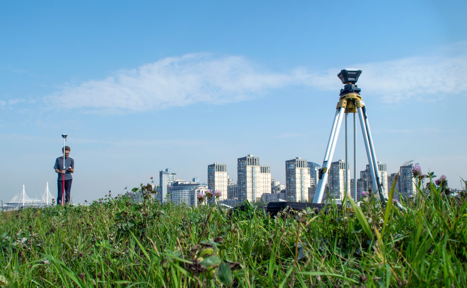
This page is dedicated to GNSS. Not only is positioning crucial for today's geomatics professionals, but GNSS also plays an essential role in people's everyday lives. With in-depth stories on GNSS, this page brings you up to date on the current status of positioning and surveying.
Richard Groom summarises some of the interesting papers from the FIG Congress focussing on GNSS, Hydrography, 3D Cadastre and mapping. GNSS – Detecting Cycle Slips Roberts and Hancock (TS03E) presen...
Diverse environmental effects, climatic changes and human alterations of the ecosystems are deeply changing Earth’s surface processes and creating environmental challenges that researchers are strug...

The GNSS industry is a very dynamic market full of growth opportunities, as several reports confirm. In China, Tersus GNSS is one of the ambitious companies looking to expand in the international GNSS...
Today’s geodata acquisition technologies combine microprocessors, computer power, solid state drives, complementary metal-oxide-semiconductor (CMOS) sensors, miniaturisation and many more developmen...
In a fiercely competitive landscape, there is considerable pressure on GNSS companies such as Hemisphere GNSS to be innovative and respond to the challenging market conditions. New developments, such ...
Tall towers can bend and sway due to wind, cranes and other loads. Ideally, such movements should be around the main axis designed so that, in the absence of loads, the tower stands exactly vertical. ...

The IAG’s International GNSS (Global Navigation Satellite System) Service (IGS) held its biennial workshop from 23-27 June 2014 at the California Institute of Technology in Pasadena, California, USA...
Altus Positioning Systems provides high-precision GNSS surveying equipment through its international sales network. Based in Torrance, California, USA, Altus is a part of the Septentrio group of compa...

A keynote address at the XXV FIG Congress (Kuala Lumpur, Malaysia, 16-21 June) by Chris Rizos, IAG president, on ‘Opportunities & Challenges for the Surveying Industry in a Multi-system GNSS World�...
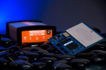
NavCom Technology, Inc., a John Deere Company based in Torrance, California, USA, is a leading provider of advanced GNSS products for OEMs, VARs, and system integrators requiring high-performance RTK ...
") GNSS stands for global navigation satellite system and refers to a constellation of satellites, which provide signals from out of space for positioning. A GNSS has global coverage. There are several GNSS systems: GPS (United States of America), Glonass (Russian Federation), Galileo (Europe) and Beidou (China).
GNSS stands for global navigation satellite system and refers to a constellation of satellites, which provide signals from out of space for positioning. A GNSS has global coverage. There are several GNSS systems: GPS (United States of America), Glonass (Russian Federation), Galileo (Europe) and Beidou (China).
News and Articles about GNSS
Read the latest GNSS news and developments. Every GNSS related news item ever published at GIM International can be found here. If you don't want to miss any news, follow GIM International online on social media or subscribe to our newsletter.
This site uses cookies. By continuing to use this website, you agree to our Cookies Policy. Agree
