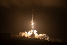
Found 3065 results
Sort by

Digital twins for a sustainable world

How can city digital twins support the attainment of SDG11? They can be used to manage infrastructures (e.g. roads, transportation and public services, smarter energy grids and water networks), support...

Read more

Satellite Imagery: An Aerial Alternative

Remote sensing projects often begin with the question: 'Should I use aerial imagery or satellite imagery?'. During long-term projects, this question may arise again, particularly when unforeseen circumstances change the...

Read more

Satellite Radar Interferometry

Despite first being published a couple of years ago, this article on InSAR is still topical, accurate and extremely relevant in the context of aerial mapping and Earth observation. Interferometric...

Read more