Lidar’s Next Geospatial Frontier
Over the past two decades, airborne Lidar has evolved from a developmental technology into a well-established mapping solution, and in the process has revolutionised the surveying...
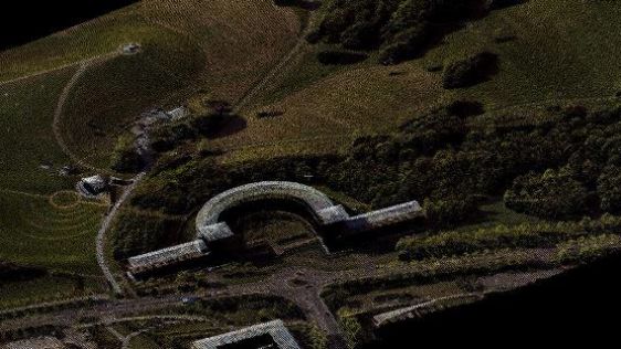
Since the first commercial airborne Lidar systems appeared on the market in the mid-1990s, it has become one of the main geodata technologies for capturing dense point clouds. GIM International made a selection of the most exciting articles we have published on this topic over the past couple of years, ranging from bathymetric Lidar and photon Lidar to applications like forestry, heritage mapping and wildlife management.

Over the past two decades, airborne Lidar has evolved from a developmental technology into a well-established mapping solution, and in the process has revolutionised the surveying...

As Lidar is a hot topic in the geomatics industry with numerous fields of applications, 'GIM International' decided to ask Michel Stanier, chief operating officer of Teledyne Optec...

Airborne Lidar has matured over the last two decades into a mapping technology routinely used for 3D modelling of urban areas, capturing boreal forests, seabed mapping and many oth...

Benoît St-Onge is a professor at the University of Quebec in Montreal, Canada. He works at the Department of Geography with a major research interest in 3D remote sensing for...

The traditional sampling protocol for quantifying potential nesting habitat for murrelet requires an observer to peer up through the tree crown from the forest floor, a task result...

The ancient Maya site of Copan, Honduras, was captured during an airborne Lidar survey in May 2013. The resulting products are accessible through 2D and 3D WebGIS tools and enable...

With sea-level rise and increases in the severity of extreme natural events, there has been a renewed push to further our understanding of the coastal zone. Fundamental to understa...
Until now, most commercially available airborne Lidar systems have operated on one single wavelength, reflecting energy from a pulse which is then used for classification or visual...

At the experimental forest site Paracou in French Guiana, a range of data is being collected to enable the short-term dynamics within the tropical rainforest canopy to be better un...
Follow GIM International on Facebook, LinkedIn, Twitter or sign up for the newsletter! Don't miss the latest developments: join GIM International!
 |  |  |  |
| 29.769 SUBSCRIBERS | 22.513 MEMBERS | 9.484 LIKES | 8.739 FOLLOWERS |
This site uses cookies. By continuing to use this website, you agree to our Cookies Policy. Agree