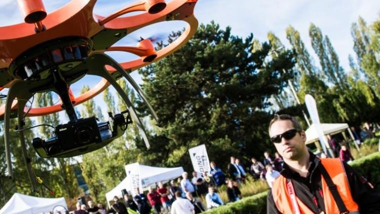
Intergeo 2015: Major Meeting Point for UAS Professionals
Thanks to the inclusion of the 'interaerial SOLUTIONS' platform Intergeo, to be held from 15 to 17 September in Stuttgart, Germany, looks set to provide the most comprehensive overview of unmanned aircraft systems (UASs) to date. The trend in these systems is moving towards integrated surveying solutions that cover the complete workflow, from flight planning to data evaluation, and can also be fully integrated into geodesy work processes. The first manufacturers are now offering terms that make this a viable financial proposition even for small and medium-sized engineering offices.
For the first time, Intergeo is bringing together the subject of UAS in a joint exhibition area in Hall 8 of Messe Stuttgart. For multicopters, helicopters or fixed-wing aircraft, Intergeo’s status as a leading innovation platform has made it one of the most important meeting places for manufacturers and users of this new market segment over recent years. Just last year, Intergeo was the largest UAS trade fair in the German-speaking region, with around 70 manufacturers of UASs and numerous service providers offering UAS-based applications.
Partnership
Intergeo now intends to expand this key position jointly with UAV-DACH. The trade association for UAV systems in the German-speaking region plays an important role as partner to the trade fair. The association is not only hosting the specialist forum that is part of the interaerial SOLUTIONS exhibit, it has also made key contributions to establishing a flight zone right next to Hall 8 – in an area that is immediately next to Stuttgart airport. Uwe Nortmann, head of the UAV-DACH office said this flight zone is a prime example of what is possible when a skilled partner organisation that is known for its safety works together with the relevant authorities for flight permits.
This benefits both visitors and exhibitors – including RIEGL, senseFly, Spectair, DroneDeploy, FlyTech UAV, Sitebots, Aibotix, Mavinci, service-drone.de, Ascending Technologies, Delair-Tech and others, who will be providing live demonstrations of just how integrated flight planning, flight mission, data recording and later data processing already are, including transfer to a full range of software solutions for GIS and surveying purposes.
Wherever there is a need for large-area surveys and orthophotos, UAS have long since become more than an exotic toy. They are now professional systems that can be easily integrated into users’ work processes. And this is now also true for small and medium-sized engineering offices. Providers such as Brandenburg-based Sitebots, for example, are driving market development with an extremely aggressive pricing strategy for standard solutions.
More potential applications
At the same time, the possibilities of UAS technology are also growing in terms of flight times and thus the potential area that can be covered, while the precision of data recording is also growing. The Sirius Pro from Mavinci, for instance, is a flight system that uses integrated real time kinematics (RTK) to produce orthophotos and three-dimensional terrain models with an absolute precision of up to 1.6 centimetres – and does so without using any ground control points. Again, this application is a fully integrated hardware and software solution covering everything from flight planning to post-processing.
Best practices
More examples of best practice from manufacturers and service providers such as FlyTech UAV, Geosystems, Luftbild- und Luftvideotechnik Hablützel, DroneDeploy, SenseFly, Sitebots, Spectair, and the UAV-DACH association will be on show every day of the trade fair at the specialist forum, and of course at the stands of the various exhibitors. The UAS programme at Intergeo will be rounded off by presentations during the Intergeo conference. These will cover issues such as the development of a legal framework for the practical use of unmanned aircraft.
Find details to the Flight Zone Program here.
The interaerial SOLUTIONS Forum Programme is available here.
Follow interaerial SOLUTIONS on Twitter

Value staying current with geomatics?
Stay on the map with our expertly curated newsletters.
We provide educational insights, industry updates, and inspiring stories to help you learn, grow, and reach your full potential in your field. Don't miss out - subscribe today and ensure you're always informed, educated, and inspired.
Choose your newsletter(s)


