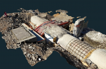
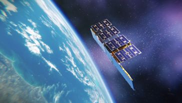
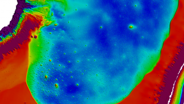
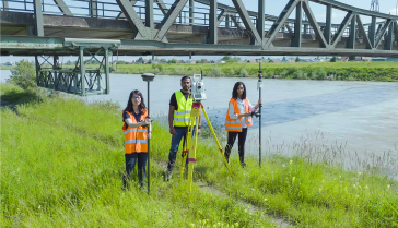
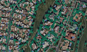
Artificial intelligence starts a new chapter for geodata usage
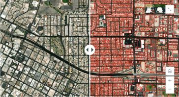
How can you leverage artificial intelligence technolgies in the aerial and satellite imaging sector? According to Toronto-based Ecopia AI, it takes a dedicated strategy to achieve future-ready critica...