Leveraging AI for automated point cloud processing
The creation of an accurately classified point cloud usually requires tremendous input from manual a...


Flai is on a mission to automate the extraction of custom user-driven products from Earth observation datasets by deploying state-of-the-art Artificial intelligence (AI) solutions.
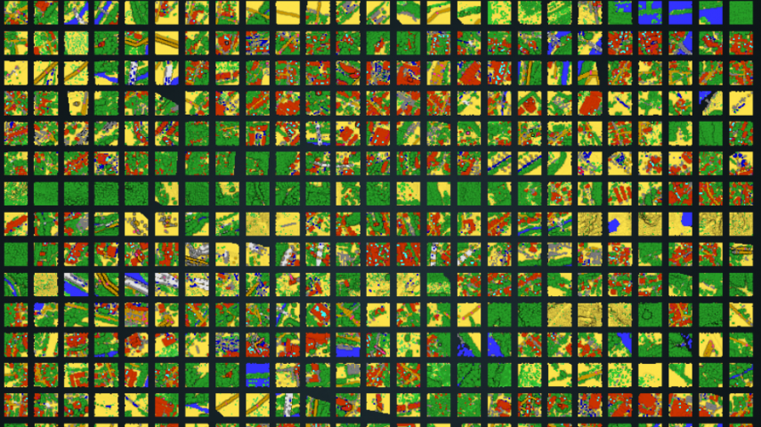
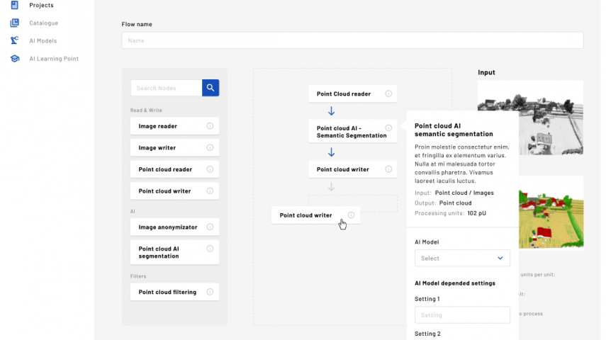
Our main focus is the analysis and classification of point clouds. We are developing a web-based application that automatically turns raw point clouds into meaningful information.
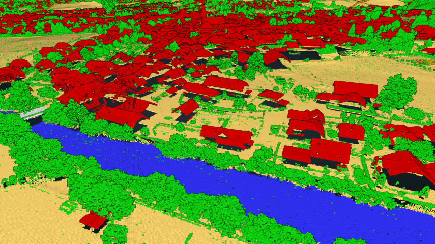
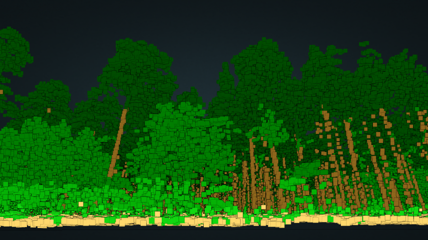
Flai web application is a very intuitive tool that does not require significant training and is therefore easy to adopt and use. Point clouds are classified via advanced AI models in up to 18 different categories – this complex work is done automatically on a scalable infrastructure which reduces time-to-process from months to days.
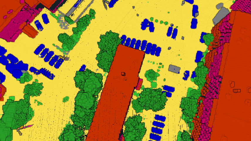
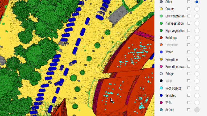
Besides the automatic classification, the Flai web application also includes a powerful online 3D point cloud viewer that allows manual annotation of point clouds using a variety of selection tools.
Manual annotation of point clouds does not have to be a tedious and time-consuming process. Flai’s feature-packed point cloud editor equips annotators with a variety of tools that make editing quick and easy.
Flai application brings unique value to organisations dealing with point clouds that are gathered via airborne (UAVs, aeroplanes, satellites) and mobile (cars, trains) platforms.
So far, the application has been used by clients dealing with the following use cases:
Since Flai’s AI models can be retrained to fit the specific needs of the user, Flai can enable new use cases across various industries


The creation of an accurately classified point cloud usually requires tremendous input from manual a...

Need help with retraining the AI model? Let us create the AI model for your use case and have control over the progress and quality at all times via the Flai W...

Need help scaling your computer resources? We use our cloud computing resources to process the data. We have a proven record of processing national-wide Lidar p...
Now you can unlock the power of AI for your business and achieve new levels of performance with our pre-trained AI models as a service. Our models are ready to...
This site uses cookies. By continuing to use this website, you agree to our Cookies Policy. Agree