Pythagoras BV has been developing software solutions for the geospatial industry for more than 30 years. We strive to deliver CAD & GIS solutions for all your mapping projects. Together with our clients and partners we create software that solves problems in different areas.
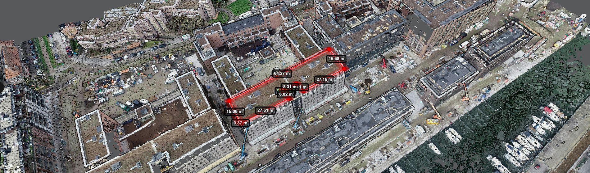
Our Pythagoras CAD software is specifically designed for land surveyors. It comes with intuitive tools so you can start without undergoing lengthy training. Surveyors, indoor mapping, dredging and mining companies and UAV, Lidar and machine control users all benefit from the intelligent algorithms that convert your data into CAD deliverables. Data sets coming from total stations, GPS instruments, laser scanners, mobile mappers, UAV and drones, single and multi beam systems and other CAD and GIS software packages can be handled and processed with ease.
Moreover, our friendly support team, is always ready to help you. Pythagoras CAD integrates with all industry file formats, brands, and devices, whether you're using traditional survey equipment or cutting-edge scanners.
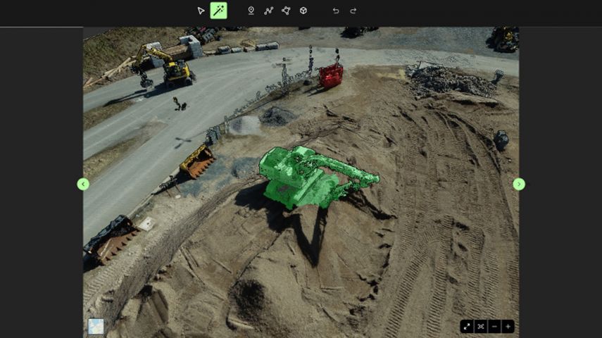
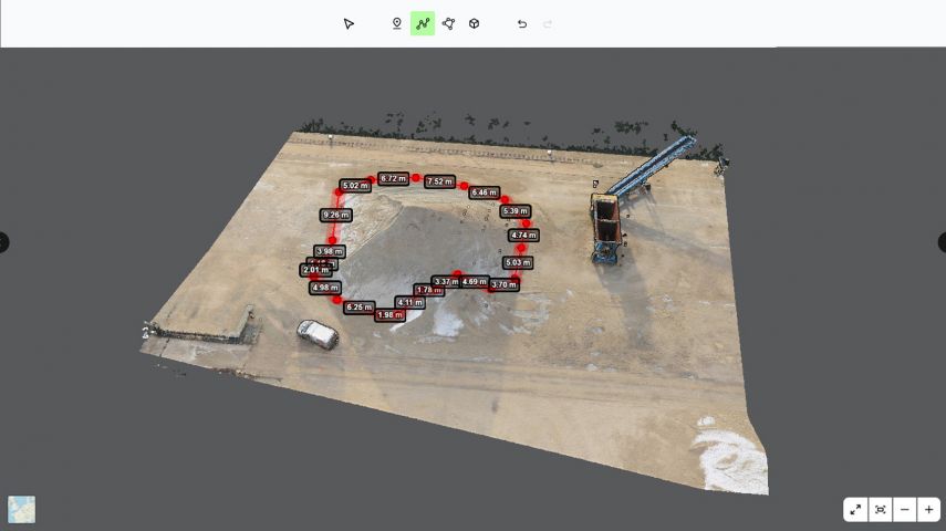
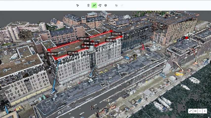
And if you're passionate about scanners and point clouds, meet Pointorama! Pointorama is your go-to platform to visualize, share, and edit your point clouds easily. With the help of AI, your point clouds will be cleaned, filtered, downsized, and classified in minutes, without the need for bulky storage or heavy processors. You can access it on any device as long as you have a browser.

Contact us or visit us at Intergeo or GEO Business to learn more!
This site uses cookies. By continuing to use this website, you agree to our Cookies Policy. Agree