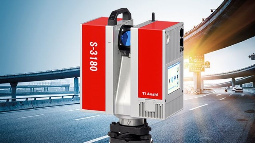
S-3080
Geo-matching connects buyers and suppliers of geospatial software and equipment. Simplify your search, compare specs, and unlock key industry insights with our...


TI Asahi Co., Ltd. was established in 2009 and inherited the business of manufacturing PENTAX-branded surveying instruments. The origin of these instruments dates back to 1933 when Fuji Seisakusho started producing one of the oldest surveying products in Japan.
As a leading company in developing and manufacturing state-of-the-art surveying instruments, TI Asahi has been introducing various high precision and high-quality product line-ups such as optical levels, total stations, GNSS receivers and 3D scanning systems, all of which have been used and appreciated by various professional workers in surveying and construction fields worldwide.
Our mission is to develop and provide the products that fully meet the needs of the world of surveying by focusing on true performance that the customers desired in surveying instruments. We believe that the products we provide must be the one that can offer substantial solutions to both technological and economical obstacles the customers face in daily works. We acknowledge it very essential that we continuously learn what are actually required in the real time surveying works and reflect them to all levels of our business activity from product development to after sales service.
The Pentax G7N is a GNSS Smart Antenna that debuts in Spring 2021 as the latest model of the PETNAX GNSS Receiver family. Based on a powerful GNSS engine with Precise Point Positioning (PPP) capability, the G7N integrates an Inertial Measurement Unit (IMU), wireless datalinks and a Web UI system management for a complete field solution.
The G7N has 555 channels for full tracking of all major satellite constellations for fast Fixed RTK initialization. The IMU complements the position solution with full 3D orientation that provides tilt and azimuth for more efficient and accurate surveying.
The integrated wireless datalinks include a global cellular modem, a full-band UHF radio, Bluetooth and Wi-Fi for cable free operations. Two hot-swappable batteries provide continuous operation and a SD Card provides additional memory up to 32 GB. Traditional serial communication, external power and UHF antenna are included with ports on the bottom of the G7N.
The innovative mechanical design of the G7N features a small and light weight magnesium alloy housing, certified to IP67 standards for all weather use. Furthermore, the product design makes superior access to the battery ports, SIM card and SD Card slots for easy insertion or removal in the field.
Configuration and status are easily reviewed and changed from the on-board Web UI, that is accessible from any PC, tablet or smart phone via Wi-Fi. The Web UI also allows wireless firmware upgrade and data transfer.
Overall, the G7N combines multiple sensors for a robust and accurate RTK solution for the land survey and GIS markets, with easy wireless access, and flexibility as a base, rover or repeater.


Geo-matching connects buyers and suppliers of geospatial software and equipment. Simplify your search, compare specs, and unlock key industry insights with our...

Geo-matching connects buyers and suppliers of geospatial software and equipment. Simplify your search, compare specs, and unlock key industry insights with our...

Geo-matching connects buyers and suppliers of geospatial software and equipment. Simplify your search, compare specs, and unlock key industry insights with our...

Geo-matching connects buyers and suppliers of geospatial software and equipment. Simplify your search, compare specs, and unlock key industry insights with our...

Geo-matching connects buyers and suppliers of geospatial software and equipment. Simplify your search, compare specs, and unlock key industry insights with our...
This site uses cookies. By continuing to use this website, you agree to our Cookies Policy. Agree