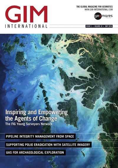
The GIM International magazine is the monthly magazine for the geomatics professional. Read the latest geospatial related articles at GIM International. Don't want to read online? We also have a print edition.
Main topics in the May edition of GIM International are:
Pipeline integrity management from space
UAS for archeaological exploration
Satellite Radar Interferometry
Company's View: Geospatial Data
An interview with Eva-Maria Unger
Insider's view from professor Emer John Trinder
Insider's View: Sea levels rise up to 1.5m
 Page 6: Based on some predictions, sea levels may rise by up to 1.5m by the year 2100. Such rises are likely to have severe effects on some coastal regions around the world, including many large cities. Regular monitoring of coastal areas contributes to understanding the current seasonal and long-term effects of changes.
Feature: Reaching All Children for Vaccination
 Page 17-19: Nigeria was one of the world’s three remaining polio-endemic countries and 122 new polio cases were identified in 2012. To achieve full eradication, a fast and exhaustive vaccination programme was implemented. To reach every child in the country, the campaign was optimised using Pléiades satellite imagery. Mapping settlements based on that imagery fostered more efficient organisation of the massive deployment of health professionals.
Interview with Eva-Maria Unger
 Page 11-12: Eva-Maria Unger is chair of the FIG Young Surveyors Network. This network wants to increase the number of young professionals participating within FIG. To help young professionals make valuable contacts in the early phase of their careers, the network increases cooperation between the FIG commissions and the younger generation. Eva-Maria speaks about the network's vision.
Technology in Focus: Satellite Radar Interferometry
 Page 21-23: Interferometric Synthetic Aperture Radar (InSAR) is a beautiful and powerful technology for surface deformation modelling and elevation mapping. However, InSAR also has the reputation of being a complex technology which is challenging to understand. This edition of Technology in Focus aims to explain the concept of InSAR.


