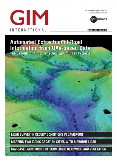
GIM - Issue 3 - 2022
This issue puts aerial mapping centre stage. We zoom in on all the aspects that come into play when using state-of-the-art aerial remote sensing technology such as photogrammetry and Lidar for mapping and surveying purposes, but also on the wide range of applications of aerial survey data. Through a series of articles, we take a closer look at the latest aerial mapping platforms, systems and processes, along with the ever-expanding range of products and services derived from such systems.


