Blue Marble Exhibits at GITA
Blue Marble Geographics, USA, will be exhibiting at the GITA Oil & Gas Pipeline Conference in Houston the week of 22 October, 2012. Blue Marble’s geospatial data manipulation, visualisation and...
Blue Marble Geographics, USA, will be exhibiting at the GITA Oil & Gas Pipeline Conference in Houston the week of 22 October, 2012. Blue Marble’s geospatial data manipulation, visualisation and...
Blue Marble Geographics is exhibiting at the ISPRS Conference in Melbourne, Australia from 26 to 31 August 2012. They present Blue Marble Desktop v2.5 and Global Mapper v13.2. Blue Marble...
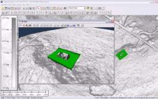
Blue Marble Geographics (Canada) has released Global Mapper version 13.1. This update features new network licensing, enhanced geospatial PDF support and much more. Blue Marble’s geospatial data manipulation, visualisation and...
Blue Marble Geographics, USA, has acquired Global Mapper LLC. Blue Marble and Global Mapper share the goal of offering powerful, user-friendly GIS software to all types of users. This merger...
Blue Marble Geographics announces the release of a Beta Version of GeoTranslate 5.1 with Spatial Connect along with GeoTransform 6.1. GeoTranslate and GeoTransform are incorporated into Blue Marble’s GeoCore SDK,...
Blue Marble Geographics (MA, USA) has released their latest GIS data conversion developer tool, GeoTranslate 5.0. This Windows C++ vector file translation and feature manipulation tool, which may be easily...
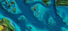
In this article, we examine the evolving landscape of bathymetry with insights from Anders Ekelund, vice president of airborne bathymetric Lidar at Hexagon Geosystems. Beyond mapping seagrass, Ekelund unveils Lidar’s...
Blue Marble Geographics has announced the launch of its new academic licensing programmeme with a new web page now available with detailed information and an online application form. This pilot...
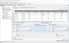
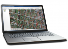
Blue Marble Geographics has announced the immediate availability of its Geographic Calculator 2017. The release introduces a new job for performing quality control on seismic survey data, it includes updates...
Blue Marble Geographics (www.bluemarblegeo.com) is pleased to announce that it has established a partnership with Pointerra (www.pointerra.com) to provide cloud-based LiDAR data delivery to Global Mapper, its popular GIS software....
This site uses cookies. By continuing to use this website, you agree to our Cookies Policy. Agree