7 Questions about Hydrography and Its Relevance for Geomatics
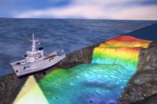
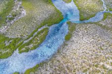
According to NOAA (The U.S. National Oceanic and Atmospheric Administration), hydrography is the science that measures and describes the physical features of the navigable portion of the Earth's surface and...