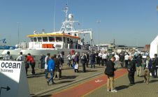
Hydrographers Search for Savings - Ocean Business 2015
Ocean Business took place between 14-16 April at the National Oceanographic Centre in Southampton. There were over 300 exhibitors in two giant marquees, a three-day schedule of training and demonstration...