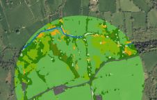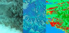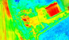
Topodrone and Agrowing drive innovation in drone thermal mapping
Topodrone has recently unveiled a cutting-edge drone thermal mapping solution: the Topodrone PT61 camera, designed to conduct detailed surveys and generate thermal orthomosaic maps, facilitating the creation of accurate 3D...