Vexcel Imaging advances aerial mapping with UltraCam Dragon 4.1
Recently unveiled by Vexcel Imaging, the groundbreaking UltraCam Dragon 4.1 represents one of the ma...
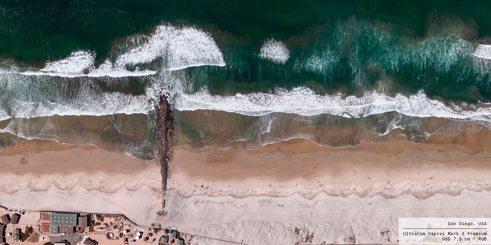

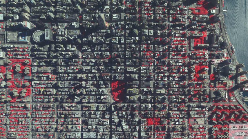
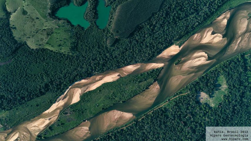
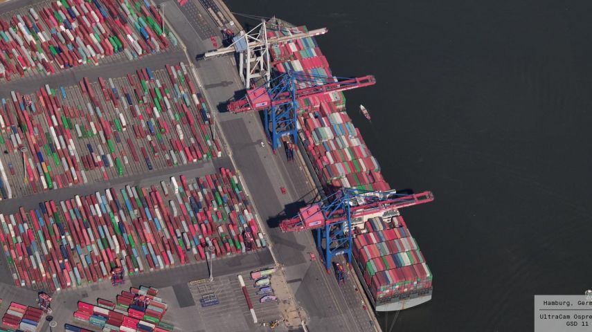
Vexcel Imaging is a global leader in aerial imaging, known for developing cutting-edge aerial cameras, mapping systems, and photogrammetric processing software. The UltraCam 4th generation system lineup includes the high-precision Premium line, renowned for its exceptional quality and accuracy. This line comprises the highly successful UltraCam Eagle 4.1, UltraCam Osprey 4.1, and UltraCam Condor 4.1. The UltraCam Merlin 4.1 models form the Fundamental line, designed to meet fundamental imaging needs of aerial applications. The Integrated line is represented by the UltraCam Dragon 4.1, combining LiDAR with nadir and oblique image data. Covering all aspects of airborne photogrammetry, our portfolio is complemented by the UltraMap photogrammetric processing software, automating data product generation. This includes point clouds, digital surface and terrain models, orthophotos, and 3DTINs. We take pride in offering world-class support and maintaining a commitment to continuous product development.
This end-to-end technology is the basis for the Vexcel Data Program (VDP), the world’s largest aerial imagery and geospatial data library providing organizations with location-based insight and intelligence. Industry-leading UltraCam sensors provide up-to-date high-resolution vertical and oblique imagery along with other digital representations of the world, and precision geometry enabling AI and machine learning. The Vexcel Data Program allows businesses and organizations to make better strategic decisions through intelligent imagery to uncover crucial location insights. VDP is powering the Geospatial Insurance Consortium (GIC), an initiative launched by the National Insurance Crime Bureau (NICB) to provide its 1,100 members with best-of-breed aerial pre-disaster and post-disaster imagery.


Recently unveiled by Vexcel Imaging, the groundbreaking UltraCam Dragon 4.1 represents one of the ma...

This webinar gives you insights into our recently introduced UltraCam Osprey 4.1, its system archite...

Vexcel Imaging has released UltraMap version 5.0, the latest update of its all-i...

Vexcel Imaging has announced the release of the next-generation UltraCam Osprey 4.1, which is descri...

Vexcel Imaging, a leading provider of aerial camera systems, mobile mapping platforms and fully inte...

Find detailed technical information about the UltraCam Eagle 4.1 and view brochures, videos and case studies and compare it with other similar products

Efficiency and cost-effectiveness in perfect focus. The UltraCam Merlin 4.1 3020 is a high-performing aerial camera system specifically designed for efficient a...

Hybrid aerial mapping system. The UltraCam Dragon 4.1 produces high-resolution nadir and oblique aerial imagery enriched with precise elevation data from a powe...

Find detailed technical information about the UltraCam Osprey 4.1 and view brochures, videos and case studies and compare it with other similar products

Find detailed technical information about the UltraMap and view brochures, videos and case studies and compare it with other similar products
This site uses cookies. By continuing to use this website, you agree to our Cookies Policy. Agree