The GIM International magazine is the monthly magazine for the geomatics professional. Read the latest geospatial related articles at GIM International. Don't want to read online? We also have a print edition.
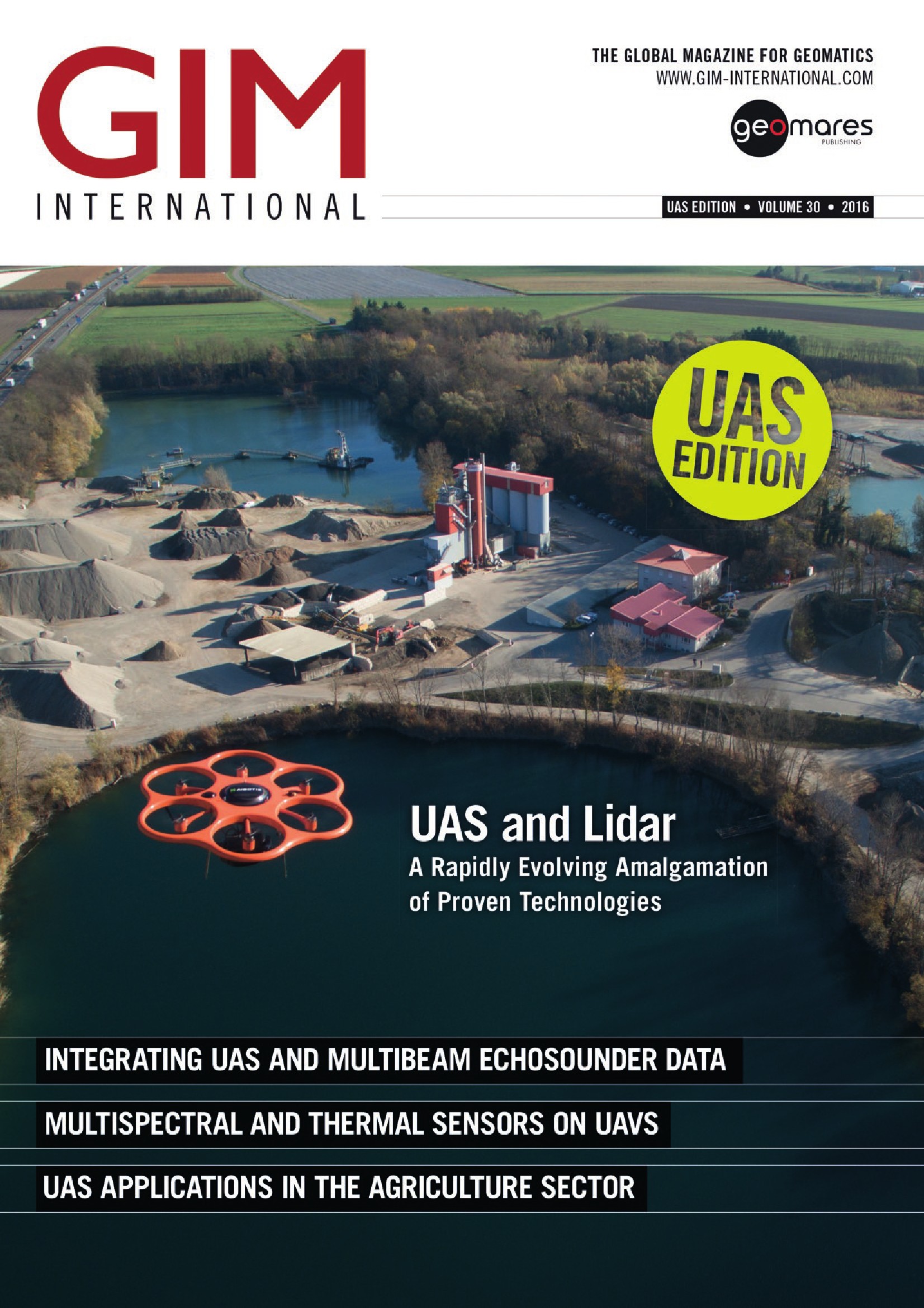
Main topics in the UAS Special edition of GIM International are:
Integrating UAS and Multibeam Echosounder Data
Multispectral and Thermal Sensors on UAVs
UAS Applications in the Agriculture Sector
Modelling Prague Castle with a UAS
Airborne Laser Scanning Using UASs
Feature: Airborne Laser Scanning Using UASs
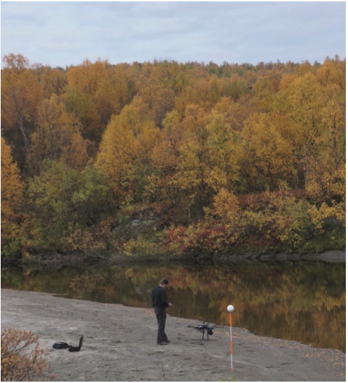
 Page 10-13: Airborne laser scanning (ALS) offers a range of opportunities for mapping and change detection. However, due to the large costs typically associated with traditional ALS, multi-temporal laser surveys are still rarely studied and applied. Unmanned aerial systems (UASs) offer new ways to perform laser scanning surveys in a more cost-effective way, which opens doors to many new change-detection applications.
Feature: Modelling Prague Castle with UAS
 Page 18-19: In a recent project to obtain detailed and accurate orthoimages and 3D models to support technical staff in maintaining Prague Castle in the Czech Republic, the site was captured by UAS photogrammetry. Videos and georeferenced panoramic images were also taken as a service to documentalists and to provide the basis for virtual tours for tourists!
Feature: Integrating UAS and Multibeam Echosounder Data
 Page 23-26: Knowing the volume of material present in a gravel quarry can make the difference between profit and loss. A gravel quarry in southwest Germany, is partially covered by artificial lakes. To determine the volumes of the above-water gravel dumping grounds and to map the bottoms of the lakes, high-precision data captured by an unmanned aerial system (UAS) was combined with multibeam echosounder data obtained by boat.
Feature: UAS-supported Agriculture
 Page 20-22: While unmanned aerial systems offer huge possibilities in modern farming, most of them lie in the future. These airborne vehicles currently mainly deliver images that are subsequently combined with other input in the farm-specific management system. In the future they will be able to contribute to land management and individual crop-product delivery based on real-time analysis.

