Found 8993 results
Sort by

How mapping experts built the biggest 3D dataset of Alcatraz Island

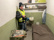
The rugged 22.5-acre site of the notorious US island prison Alcatraz has been digitally captured in a world-leading project involving multiple mapping technologies. With the team camped in the jail’s infamous cells for three weeks during the cold San Francisco winter, this historically, biologically and architecturally important location was recorded in unprecedented 3D detail. We discussed the project with project head Pete Kelsey and team member Dr Jeremy Sofonia. The rugged 22.5-acre site of the notorious US island prison Alcatraz has been digitally captured in a world-leading project involving multiple mapping technologies. With the team camped in the jail’s infamous cells...

Read more

VisionMap A3 Version 2.0

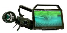
VisionMap’s A3 ground processing system version 2.0 is now released. The ground processing system, together with A3 camera improvements now feature better radiometry, higher resolution DSM processing, as well as...

Read more

7 Inspiring Articles on 3D City Modelling

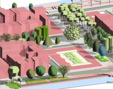
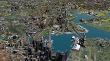
No modern city is future-proof without a ‘digital twin’: the 3D city model. 3D city models are virtual representations of urban environments and include buildings, terrain, infrastructure, landscapes, vegetation and...

Read more

GeoCore 2.0

Blue Marble Geographics has released GeoCore 2.0, the conversion developer tool kit for geospatial data. The updated version of GeoCore includes the latest versions of GeoTransform, GeoCalc, and GeoTranslate software...

Read more